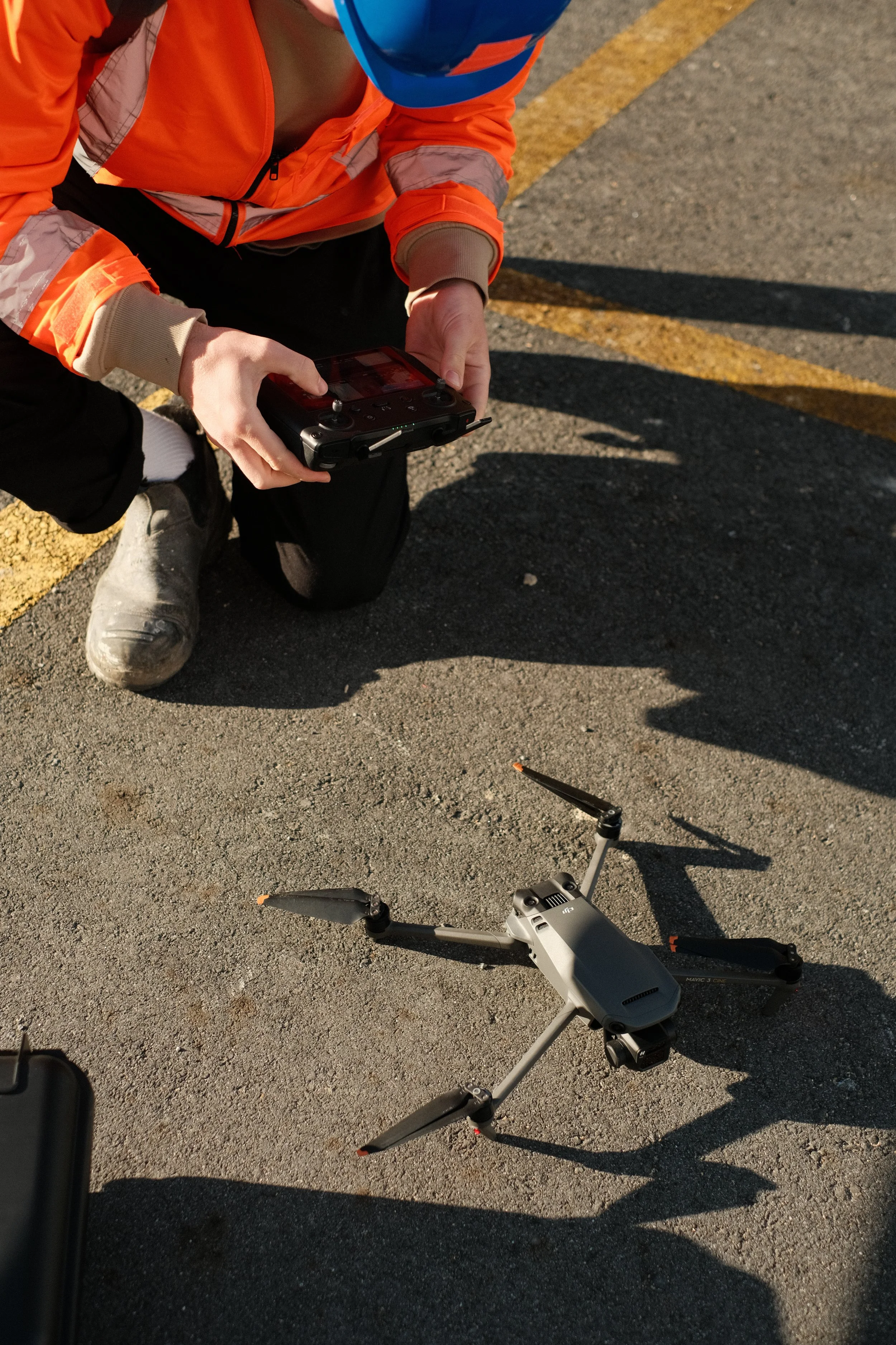
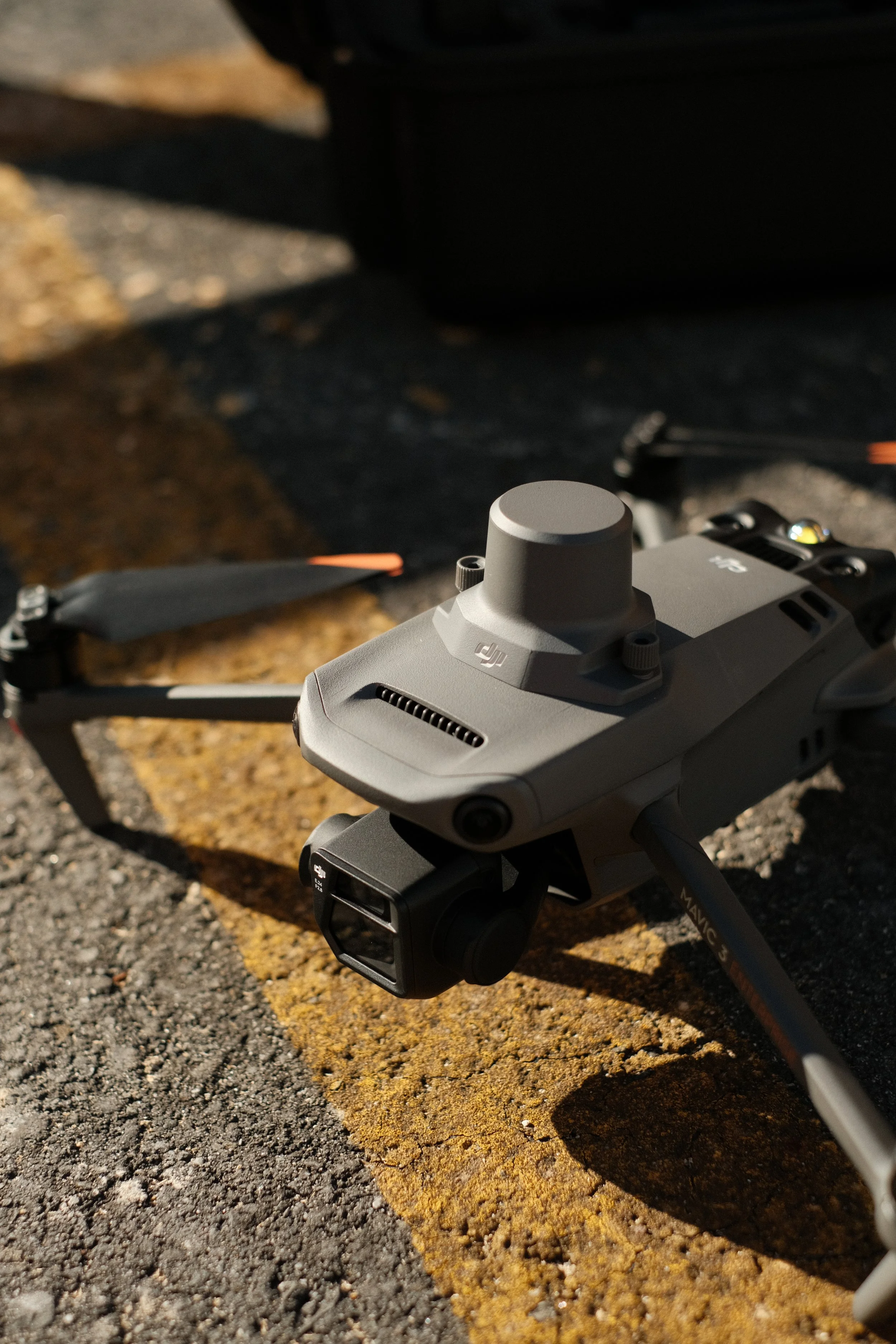
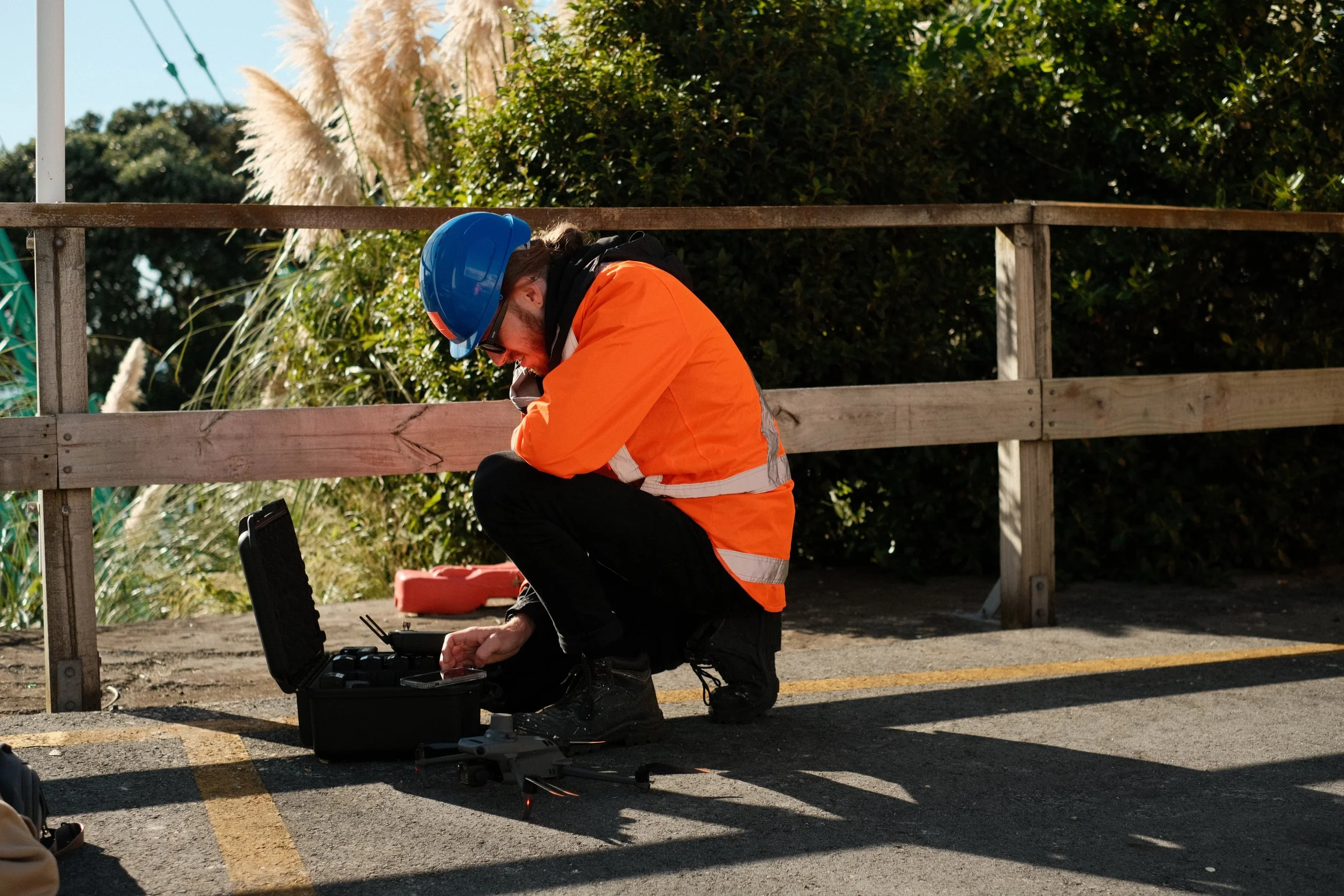
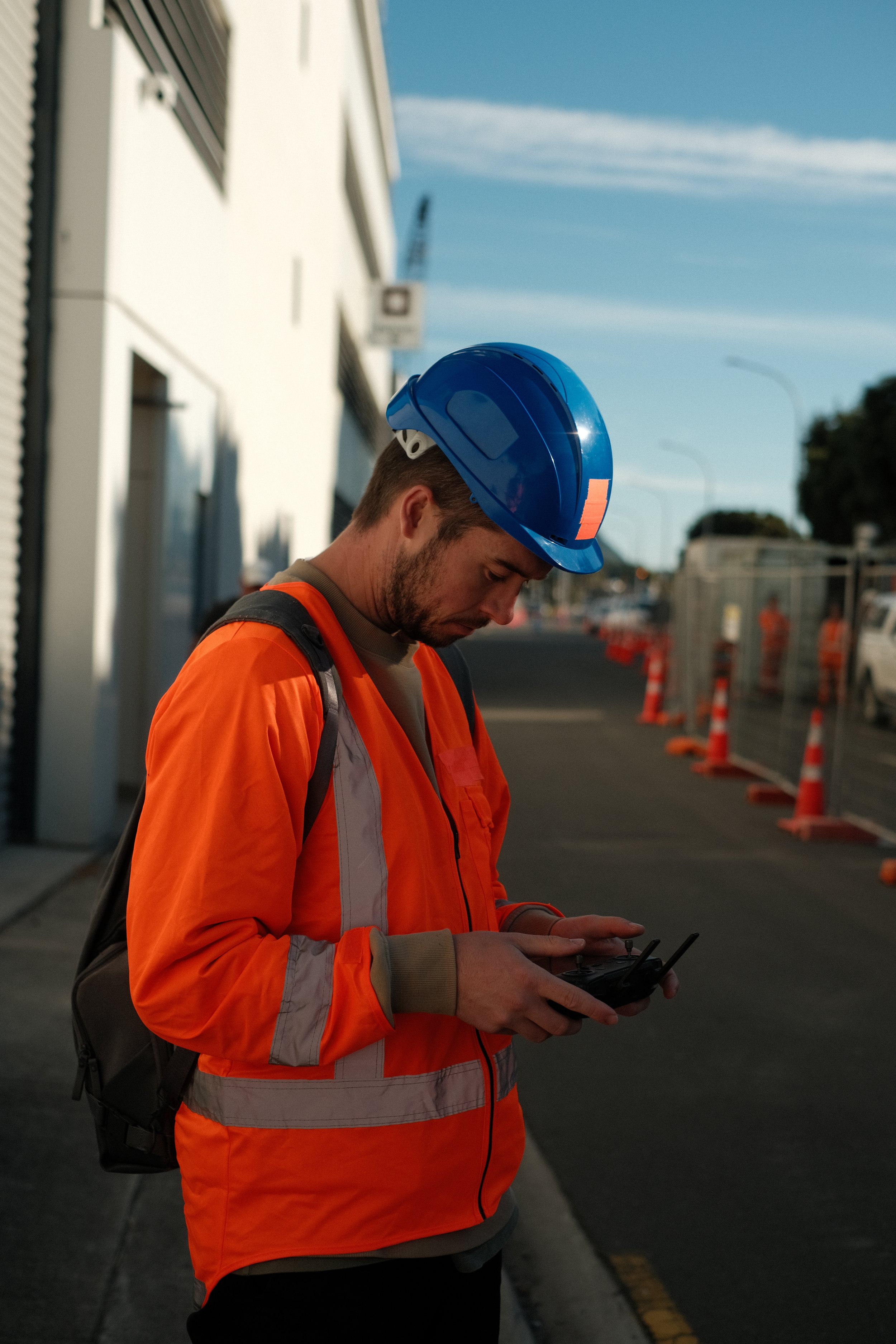
DRONE MAPPING
3D Maps
We capture thousands of images of your project using the latest in 3D Mapping technology. Once captured, we stitch these images together into a perfectly scaled, explorable 3D model.
Popular use cases are;
- Project monitoring for remote stakeholders.
- Documentation of stages and the final product.
- Historical preservation.
- Wayfinding and navigation.
- Community project engagement.
Simply share the link with your client or embed maps on your website.
Architects, construction managers, and others who work with 3D files will be pleased to know we provide a range of file types that are compatible with CAD and 3D animation software such as DXF and OBJ files.
Click & hold on these maps to rotate.
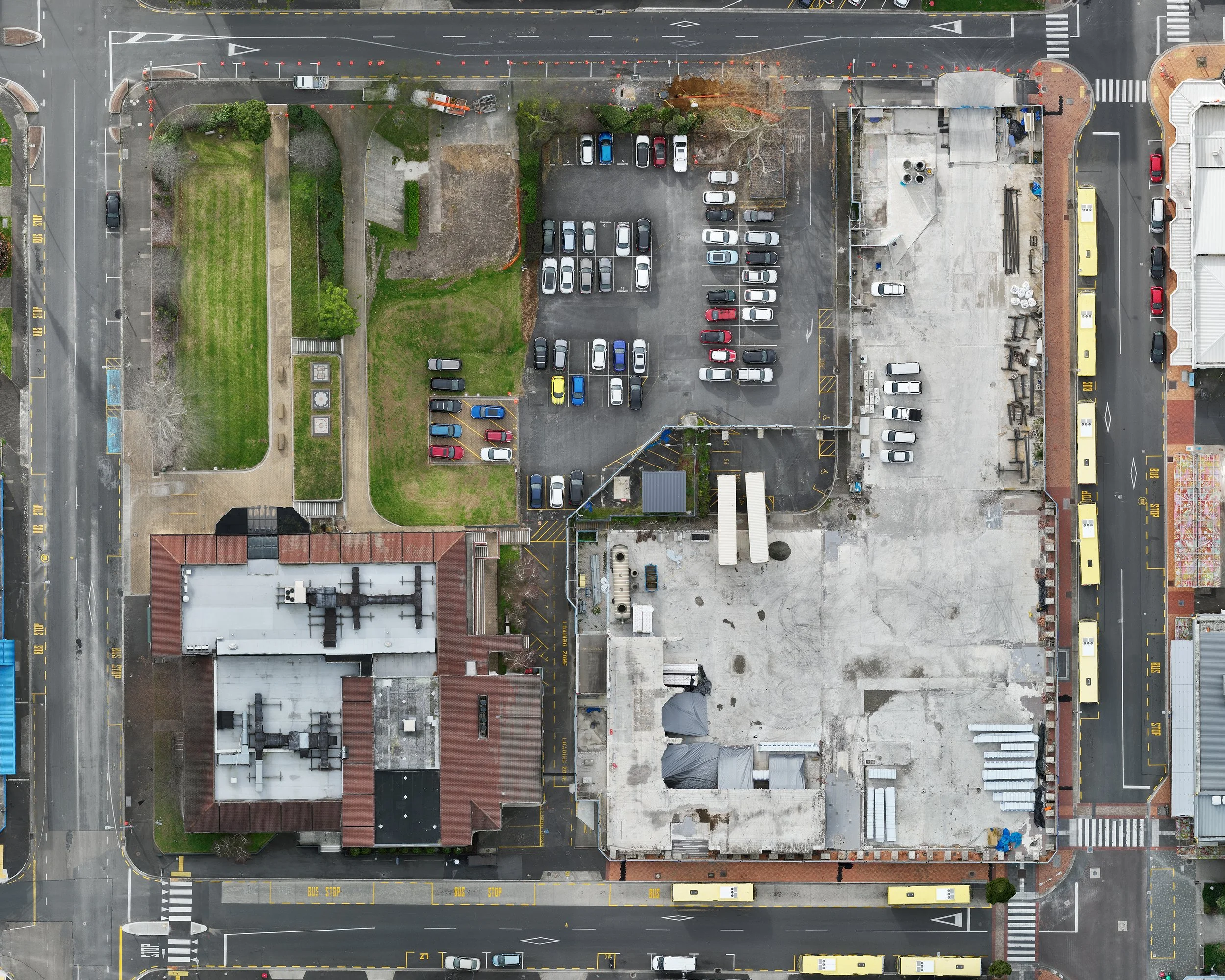
2D Maps
Our 2D maps are like satellite maps but better. We can achieve up to 1 pixel per centimeter of map quality at full resolution. This allows for extremely large-scale prints and embeddable maps giving a larger-than-life overview of your development, farm, or area of interest.
Zoom in on the maps shown below to see the crisp detail!
PACKAGES & PRICING
All mapping packages include the following;
Flight Planning (CAA & DJI Logged).
Job Site Analysis (JSA), Health and Safety.
Travel within Tauranga.
Drone and CAA101 operator.
S (100-10000m2) $2,000+gst
M (10000-200000m2) $2,750+gst
L (200000-500000m2) $3,500+gst
XL (500000+m2) $POA
12 months of data storage.
12 months of online map hosting with embed link.
3D maps include DFX and OBJ files.
2D maps include TIFF and JPEG files.
3D Aerial Mapping
2D Aerial Mapping (Bird Eye View)
S (100-10000m2) $1,500+gst
M (10000-200000m2) $1,750+gst
L (200000-500000m2) $2,000+gst
XL (500000+m2) $POA
Optional Extras
Travel outside of Tauranga $1+gst per / km
Additional hosting (Yearly) $100+gst per / map
Detailed mapping on points of interest $POA
Repeat mapping 20% Discount.
Frequently Asked Questions
-
We are insured with $2m of public liability and $2m of Drone public liability.
All of our drones and equipment are also insured.
-
Yes. We are SHE-Prequalified with ensures we meet the health and safety requirements to work with NZ district councils and other businesses requiring pre-qualification.
-
We can map private property with the consent of the owner/owners, and public property in accordance with CAA101 rules.
We are based in Tauranga but work throughout New Zealand.
-
Although our 3D and 2D maps can be accurate down to a few centimeters, they should be used as visual representations and not final survey points.


Get in touch
Give your customers the full picture and turn heads with high quality aerial footage, photography or maps of your latest project. Contact us to discuss how we can bring your project to life through professional drone photography and video.